


Description
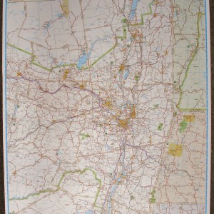
Laminated regional map of over 1750 communities from Poughkeepsie to Ticonderoga, Cooperstown to Bennington, VT. Large images shows coveage area, smaller imagess show detail level. Shows major roads and points of interest. Reverse side shows insets of Glens Falls, Saratoga Springs, Clifton Park, Schenectady, Albany, Troy, Waterford, Cohoes, Gloversville, Johnstown, Amsterdam, Hudson, Kingston, Cooperstown, NY; Rutland, Manchester, Bennington, VT; North Adams, Lenox, Lee, Stockbridge, Pittsfield, MA. Fully indexed, major roads, municipalities, parks, recreation areas, golf courses, lakes and stream, and points of interest. Pub. by JIMAPCO, 4th edition, 2014, 25.5″x38″.


Reviews
There are no reviews yet.