


Description
This map of New York State also includes most of Vermont, some of New Hampshire, western Massachusetts, all of Connecticut, northern New Jersey, the upper border of Pennsylvania and portions of Ontario and Quebec in Canada. This is an excellent map for businesses because it clearly defines the county boundaries for each state, is color coded, shows all the cities, villages and hamlets in New York State as well as the major highways and state and county roads. Features recreation areas, index of cities, and points of interest. JIMAPCO, 2009, 42″x45″.
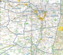
Image shows map detail.
Also available as a laminated wall map – see SKU# NYPSLE


Reviews
There are no reviews yet.