Description
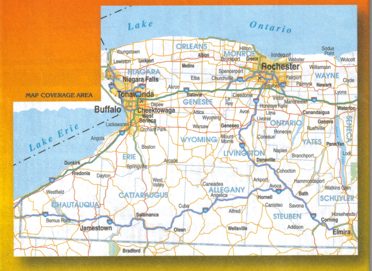
Laminated wall map showing interstates, highways, and major roads from Cayuga Lake to western border of New York State. Regional map on one side and inset maps on the reverse. Large image above shows coverage area, smaller images show detail level. Includes the counties of Niagara, Erie, Cattaraugus, Chautauqua, Orleans, Genesee, Wyoming, Allegany, Monroe, Livingston, Wayne, Ontario, Yates, Steuben, and Schuyler. Contains insets for Rochester, Niagara Falls, and Buffalo and others. This fully indexed map points out parks, campgrounds, golf courses, wineries and many other recreational areas and points of interest. Pub. by JIMAPCO, 3rd edition, 2014, 25.5″x38″.


Reviews
There are no reviews yet.