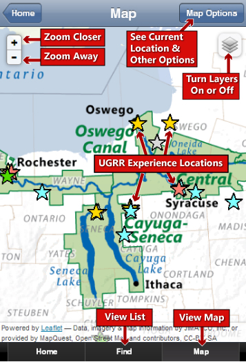
Why a UGRR New York State Map?
The New York State Network to Freedom map is a collaborative project designed to enhance the cultural heritage tourism opportunities in the state by promoting Underground Railroad sites, programs and tours that tell the story of enslaved people seeking freedom and those who helped them. New York was a bastion of the UGRR and anti-slavery movement. The Erie Canalway and Hudson River served as critical modes of transportation for freedom seekers and were one of the primary ways they reached safe havens through-out New York State.
How to be added to the New York State Map?
Sites, programs and tours included on the map are those that have applied to and been accepted by the National Park Service Network to Freedom program or the Underground Railroad Heritage Trail. Sites or programs that wish to be listed should join the Network to Freedom and be publicly accessible, non-profit, church or government owned.
How do I use this New York State Map?