Fire & Emergency Maps
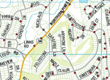
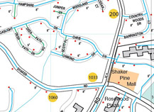
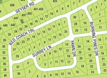
For over 40 years JIMAPCO has worked with local emergency services to prepare and maintain precise local maps for fire and EMS departments. Large wall maps, vehicle atlases, and now mobile apps are available to help responders do their jobs. JIMAPCO maps can include details such as:
- Hydrant locations
- Water main details
- Helicopter evacuation landing zones
- Facility infrastructure details
- Hazmat locations
- Highway turnaround locations
 |
 |
 |
We can provide our maps as large, laminated wall maps for office, planning or dispatch use. A popular option is our in-vehicle map books – where we take your district map and convert it into a bindered book of maps with an easy-reference index. Also available is our mobile option – use your district map on an iPad, iPhone, or Android device – no wireless or phone connection needed. See your current location, plot points (hydrant locations, hazmat sites) add photos to locations, along with other features.
Let us help you do your job effectively with state of the art, accurate maps. Contact us to learn more.


